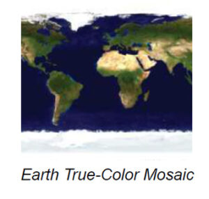
WATER CARDS

Earth

Card 1 of 3

The 3rd Planet from the Sun

The image is a view of Earth from space, showcasing the planet's spherical shape. The visible continents include parts of Africa, the Middle East, and Asia. The top of the globe is covered in brown and green landmasses representing desert and vegetated regions, while the bottom shows expansive white cloud formations swirling over the deep blue ocean. The image emphasizes Earth's vibrant colors and varying textures, from the solid landforms to the fluid clouds and water bodies.

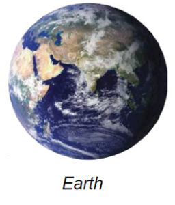
Surface Reservoir     155💧

Surface water is present on Earth in the form of oceans, rivers, and glaciers.

Gravity

In this deck, we compare other objects’ gravity to Earth’s gravity.

Composition

Rock

The image is a satellite view of the world map showcasing the Earth’s continents and oceans. The continents are depicted with variations in color indicating different terrains and vegetation. North and South America are on the left, with varied green and brown tones signifying forests and mountains. Africa and Europe appear in the center, Europe in green and Africa in lighter shades of brown and tan. To the right is Asia, with a mix of green, brown, and yellow areas indicating diverse landscapes. Australia is visible below Asia, shown in brown and green hues. The surrounding oceans are portrayed in deep blue, emphasizing the planet's vast water bodies. Earth’s polar ice caps are visible at the top and bottom edges of the map, appearing in white.

Water in Extreme Environments Water Card Webpages

This is an index of our Water in Extreme Environments water card webpages that are designed to be text to speech that are also translatable into other languages (including Braille) by using the change language function of Google or other translation software.

How to Translate a page to other languages in Google Chrome